This is a short history of our cooperation through the National Centre for e-Social Science
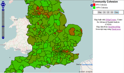
From 2005, two of the key research nodes of NCeSS were located in London at UCL – GeoVUE and at Leeds in the University of Leeds – MoSeS. GeoVUE ended on the 30th September 2008 and GENeSIS began on 1st October 2008. This is a convenient point to explain all these terms. GeoVUE stands for Geographic Virtual Urban Environments. It was a project which essentially developed web-based services for the visualisation of 2D maps producing in particular GMapCreator and MapTube amongst other software for map mashup and then moved on to consider importing 2D maps and related geospatial data into 3D environment, specifically games and virtual worlds but also 3D GIS, CAD and 3D virtual globes.
GENeSIS is a little different in that it stands for GENerative e-SocIal Science. The acronym like all good symbols for research projects can be unpacked in diverse ways which emphasise our focus on space and simulation but we consider the previous statements the baseline definition. It joins GeoVUE to MoSeS which is the project that the Leeds node has developed in the first phase of NCeSS funding. MoSeS is a microsimulation model of the UK economy developed using microsimulation logics and applied to subdivisions of the UK space at different spatial scales. It is used for policy analysis such as the impact of aging on public services. MoSeS stands for MOdelling and Simulation for e-Social Science.
GENeSIS (= GeoVUE + MoSeS) is to develop microsimulation models for social science and to link these to the emerging paradigm of agent-based models. The UCL node will develop ABMS and their visualisation while the Leeds node will link microsimulation to ABMs. Model development and visualisation will take place in both nodes and the programme of research will be integrated. A rudimentary web site has been set up (http://www.genesis.ucl.ac.uk/) but we consider that this blog will take over as our basic web presence, once we have experimented with formats.
Mike Batty, CASA, UCL